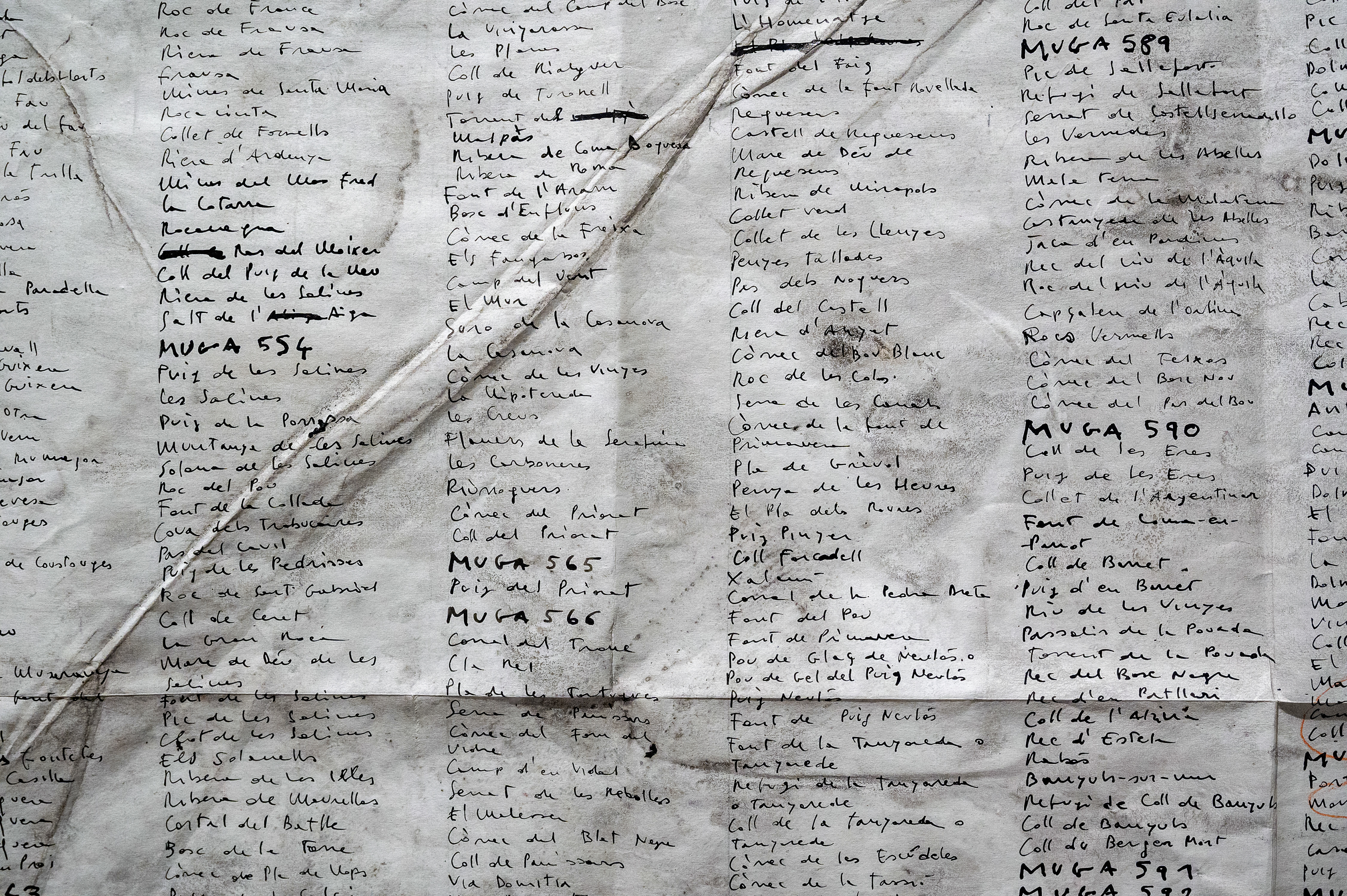
Lloc, lluny, llar
2020/2021
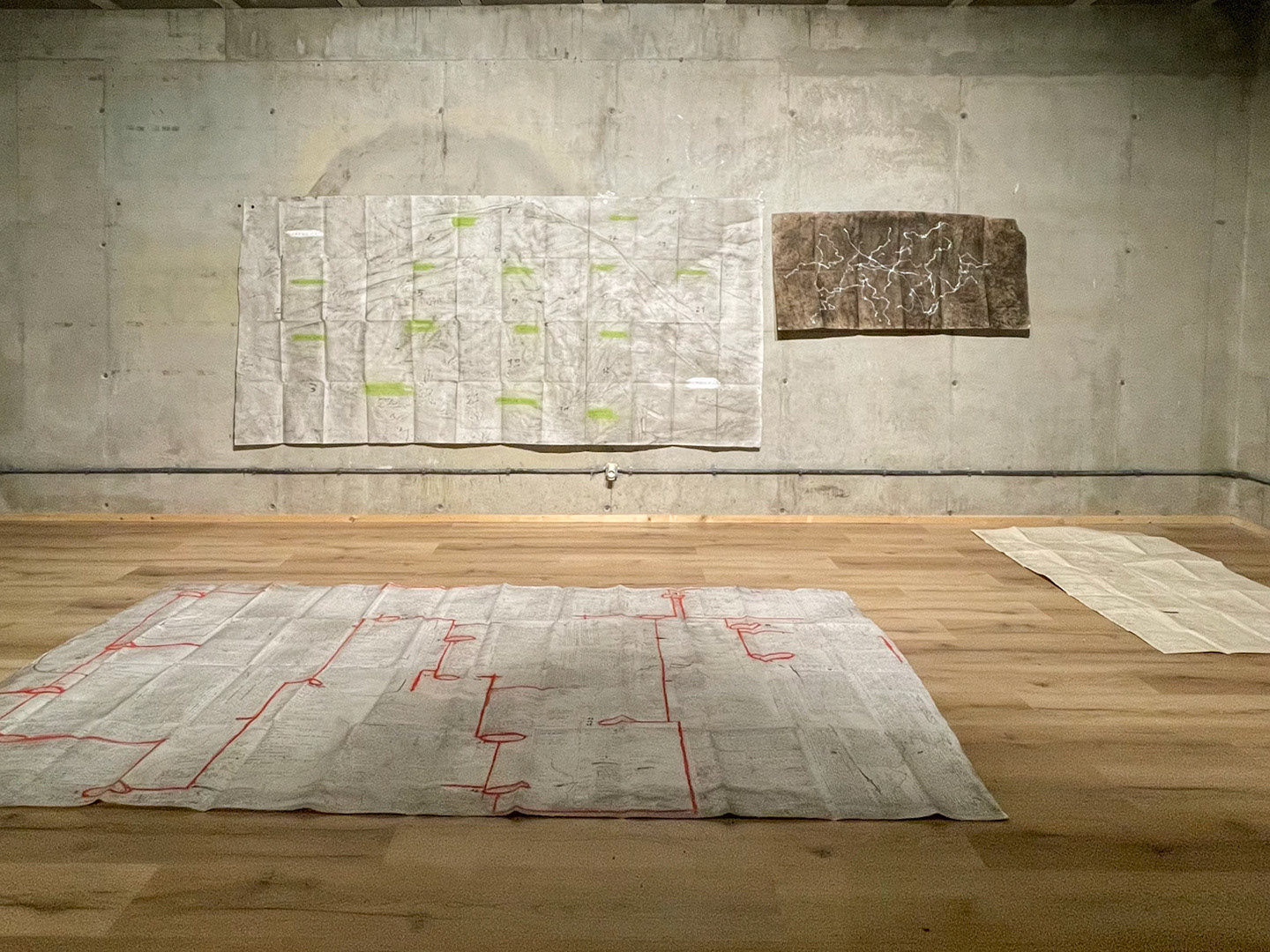
El caminar como práctica artística, el arte cómo cartografía del existir. Un trabajo de investigación basado en la travesía del Grand Tour 2020, la sexta edición de la caminata organizada cada año por Nau Côclea en territorio catalán.
Con el soporte de Nau Côclea y OSIC - Generalitat de Catalunya
Textos y paratextos
El punto de partida de este trabajo de investigación ha sido el Grand Tour 2020, la sexta edición de la caminata organizada cada año por Nau Côclea en territorio catalán. El Tour de este año se desarrolló entre el 9 y el 29 de agosto del 2020, caminado unos 350 km desde Tàrrega hasta el Centre d’Art i Natura de Farrera, durante el cual han ido alternándose hasta más de veinte personas.
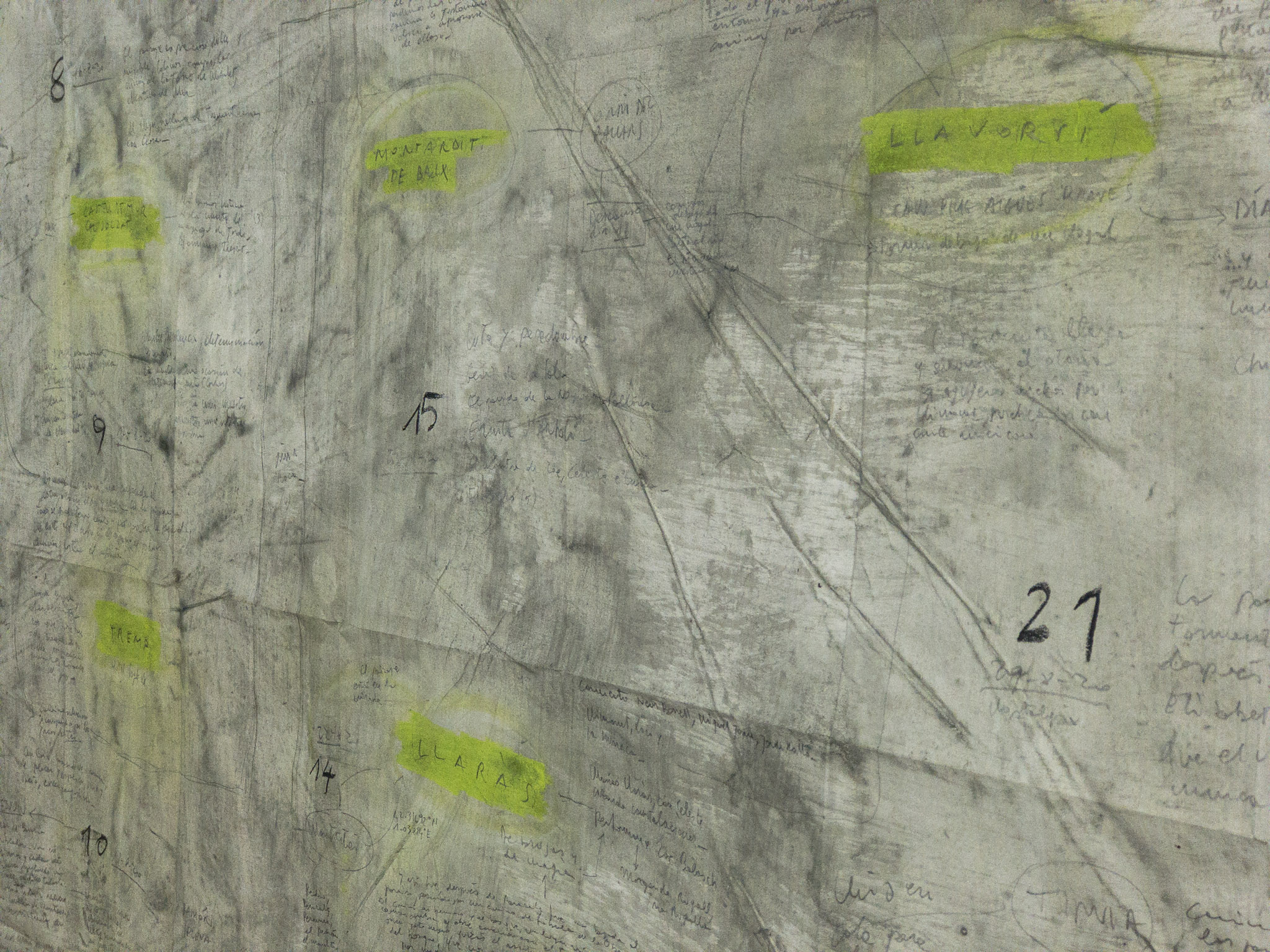
De los 21 días de viaje, 15 fueron de desplazamiento linear, 3 dedicados a rutas circulares y 3 de descanso. Las etapas principales del viaje fueron: Tàrrega, Penelles, Balaguer, Sant Llorenç de Montgai, Les Avellanes, Àger, Barranc del Bosc (Moror), Collmorter, Tremp, Aramunt, La Pobla de Segur, Llaràs, Montardit de Baix, Altron, Llavorsí, Farrera.
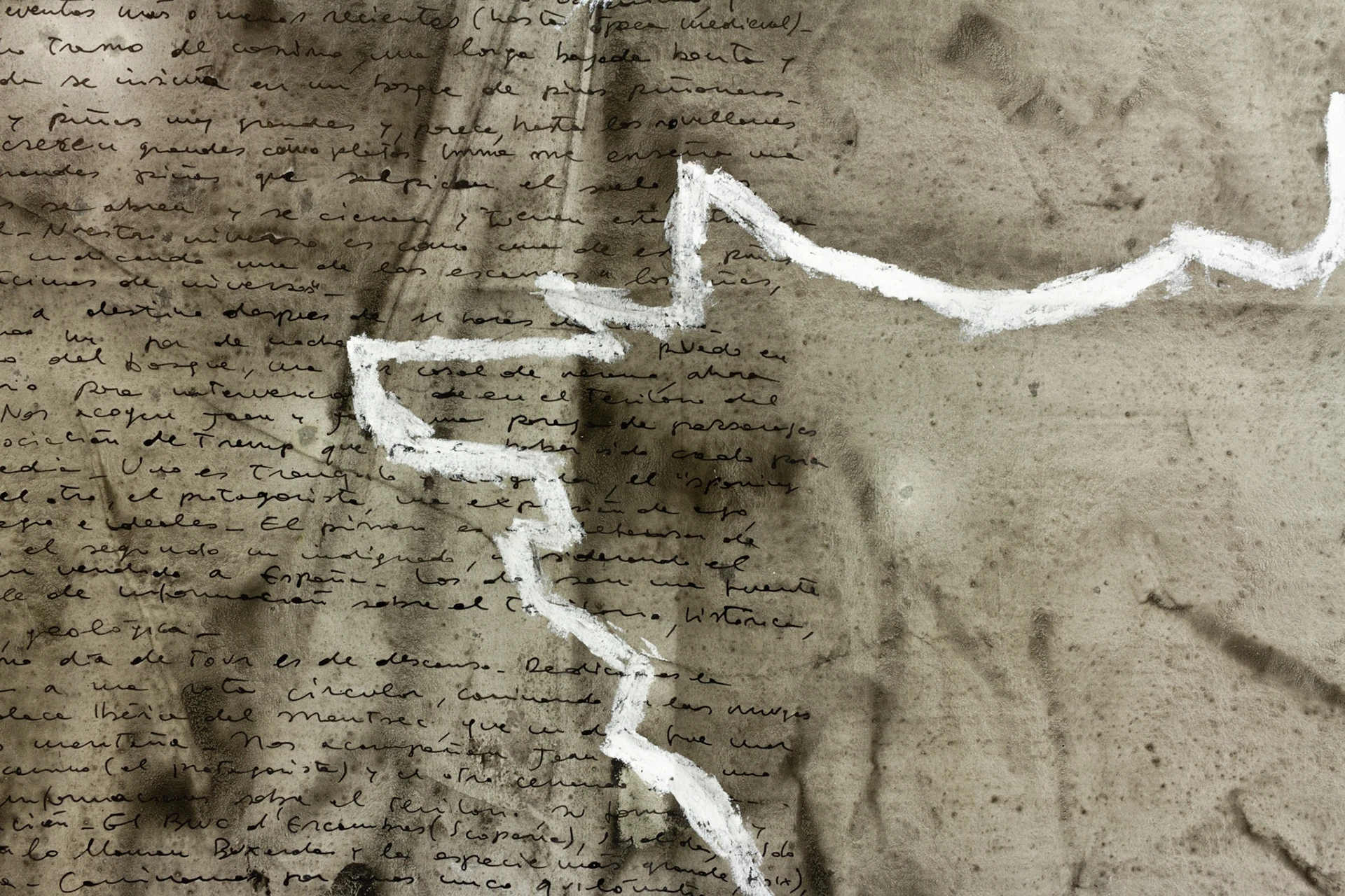
Como artista residente invitado, recorrí todo el trayecto dedicándome en recopilar información y documentar la experiencia a nivel topográfico, audiovisual y narrativo. El material generado fue la materia prima con la cual he desarrollado el sucesivo trabajo de taller.
El trabajo plástico se ha desarrollado a través del mapa, entendido aquí en su sentido originario, así cómo descrito por Sebastián de Covarrubias:
“Mapa, llamamos la tabla, lienzo o papel donde se describe la tierra universal, o particularmente, puede venir de mappa que quiere decir lienzo o toalla, y particularmente la que los Pretores en los juegos Circenses enviaban por señal para que se empezasen, la cual estaba blanqueada o engredada, como si dijésemos almidonada; porque el lienzo sobre que se ha de describir la tierra y mar y sus partes se ha de aparejar de esa forma, la llamaron mapa y mappa mundi, y por esta causa también a estas descripciones llamamos lienzos, por estar en lienzo” (Sebastián de Covarrubias, Tesoro de la lengua castellana o española (p. 539). Madrid, 1611).
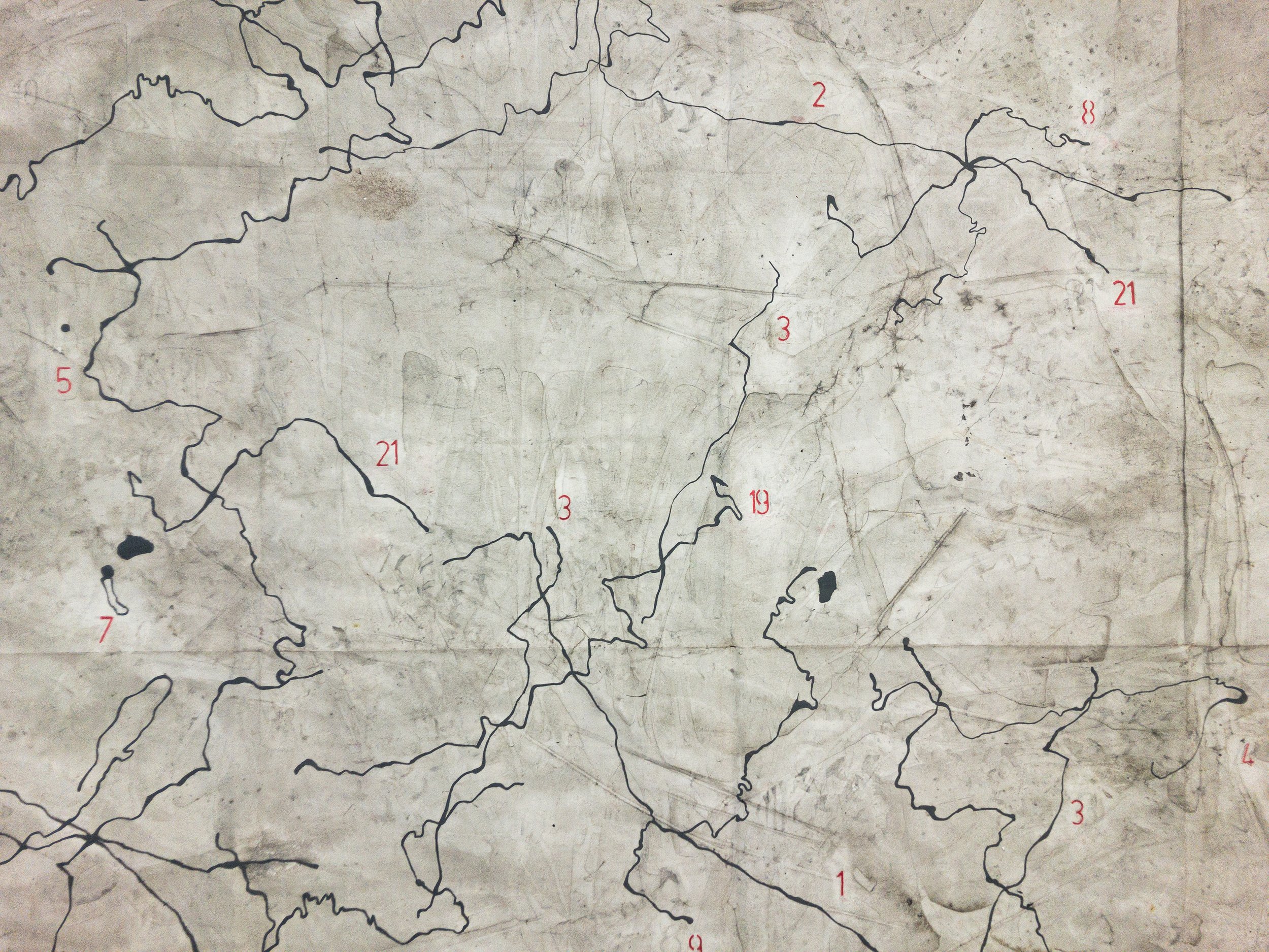
Las rutas, el texto, las vivencias y los topónimos se han vuelto los elementos fundamentales de un lenguaje finalizado a la construcción de ocho mapas, pasando de lo topográfico a lo conceptual y, aún más allá, a la abstracción del territorio.
Considerando la travesía una metáfora de vida y extendiendo la pregunta al trabajo del artista, podemos así llegar a considerar los resultados de esta investigación cómo mapas vivenciales y el arte en su extensión cómo cartografía del existir.
Obra expuesta en Nau Côclea (Girona), CDAN (Huesca), Fundació Hospital de Benasque, Museu de l’Empordà (Figueres), #plantauno (L’Hospitalet de Llobregat) y Museu de Sant Pol de Mar.
- «Caminar los Pirineos», CDAN de Huesca y Fundación Hospital de Benasque
- «Fronteres. Línia de tall», Museu de l’Empordà, Figueres
- Grand Tour 2020 – Grand Tour
- ‘Lloc, lluny, llar’ la crònica del Grand Tour 2020
La ruta
La ruta - Grand Tour 2020 | Mapbox
La travesía se desarrolló entre el 9 y el 29 de agosto de 2020, caminando unos 350 km desde Tàrrega hasta el Centre d’Art i Natura de Farrera.
- Rutas día por días (Wikiloc)
- Toda la ruta (Google Maps)
