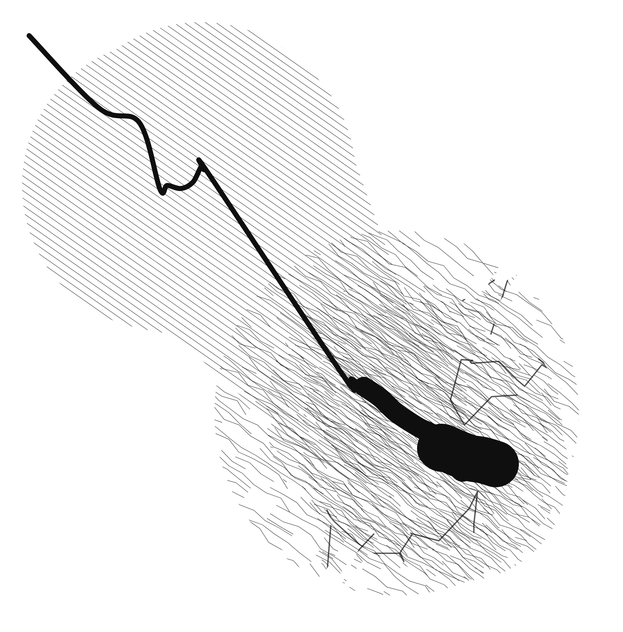
Walking Lines. Drawing by Walking
2026 – ongoing
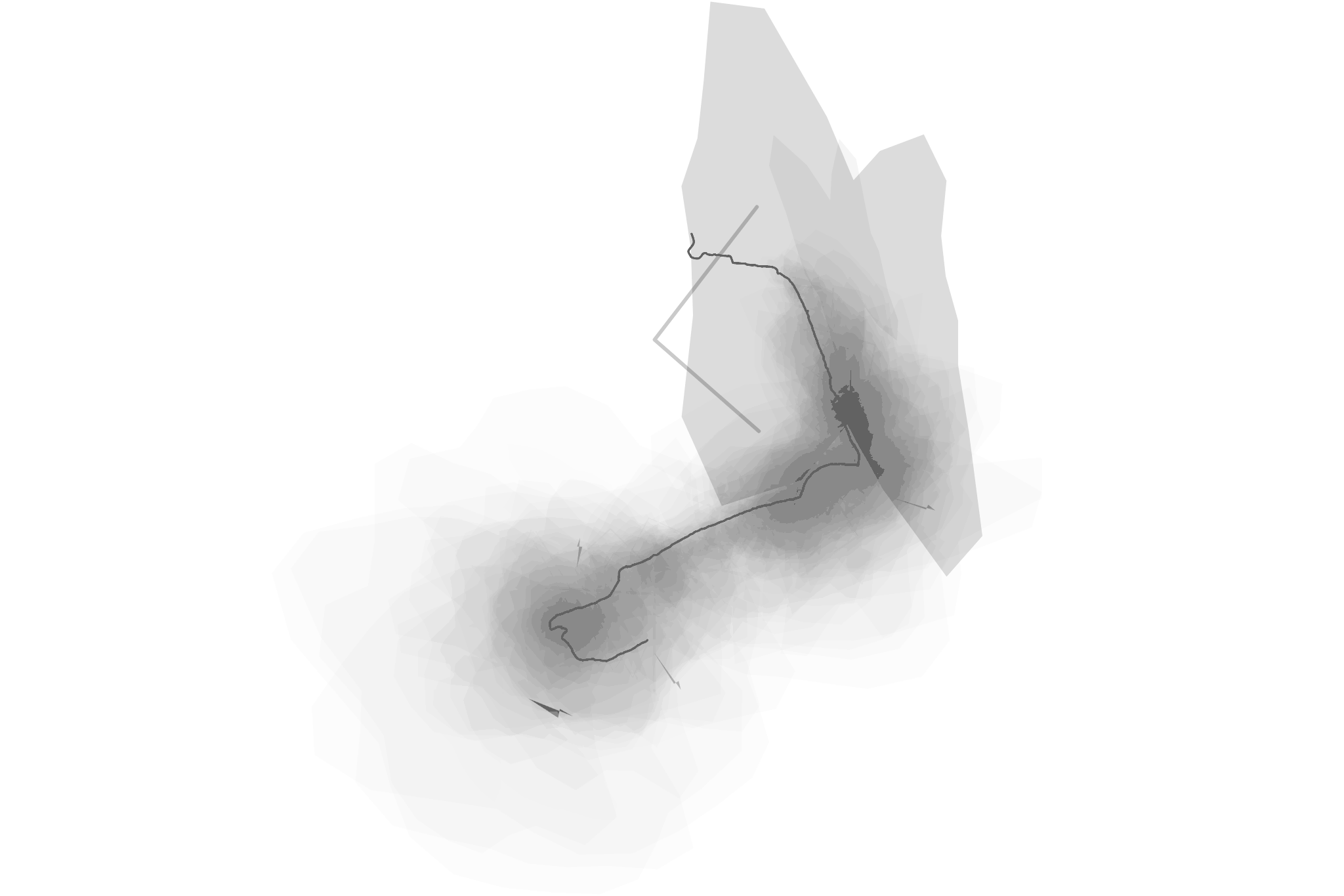
Walking Lines turns the movement of the body into a drawing procedure. An application uses GPS to record a route on foot and translates it, in real time, into lines, stains and vector forms. The walk is not represented on a map: it is inscribed directly onto a non-cartographic surface. Bends, detours, pauses and variations in the signal cease to be accidents of recording and become formal elements.
Walking art, algorithmic drawing and GPS traces.
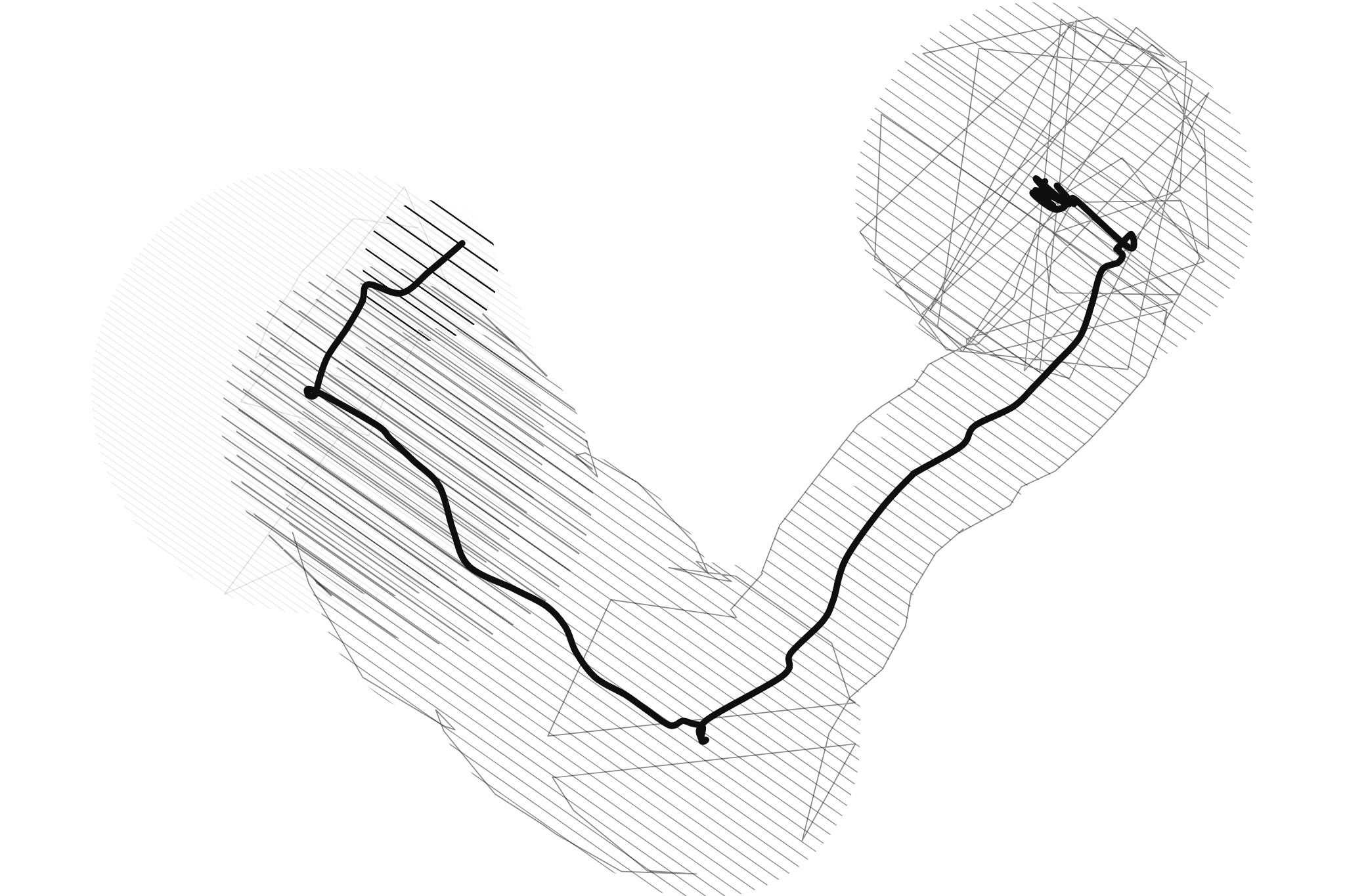
Compra, 26.08.2026. Vector drawing generated from GPS data, mixed mode. Barcelona; 310 m, 5 min 49 s.
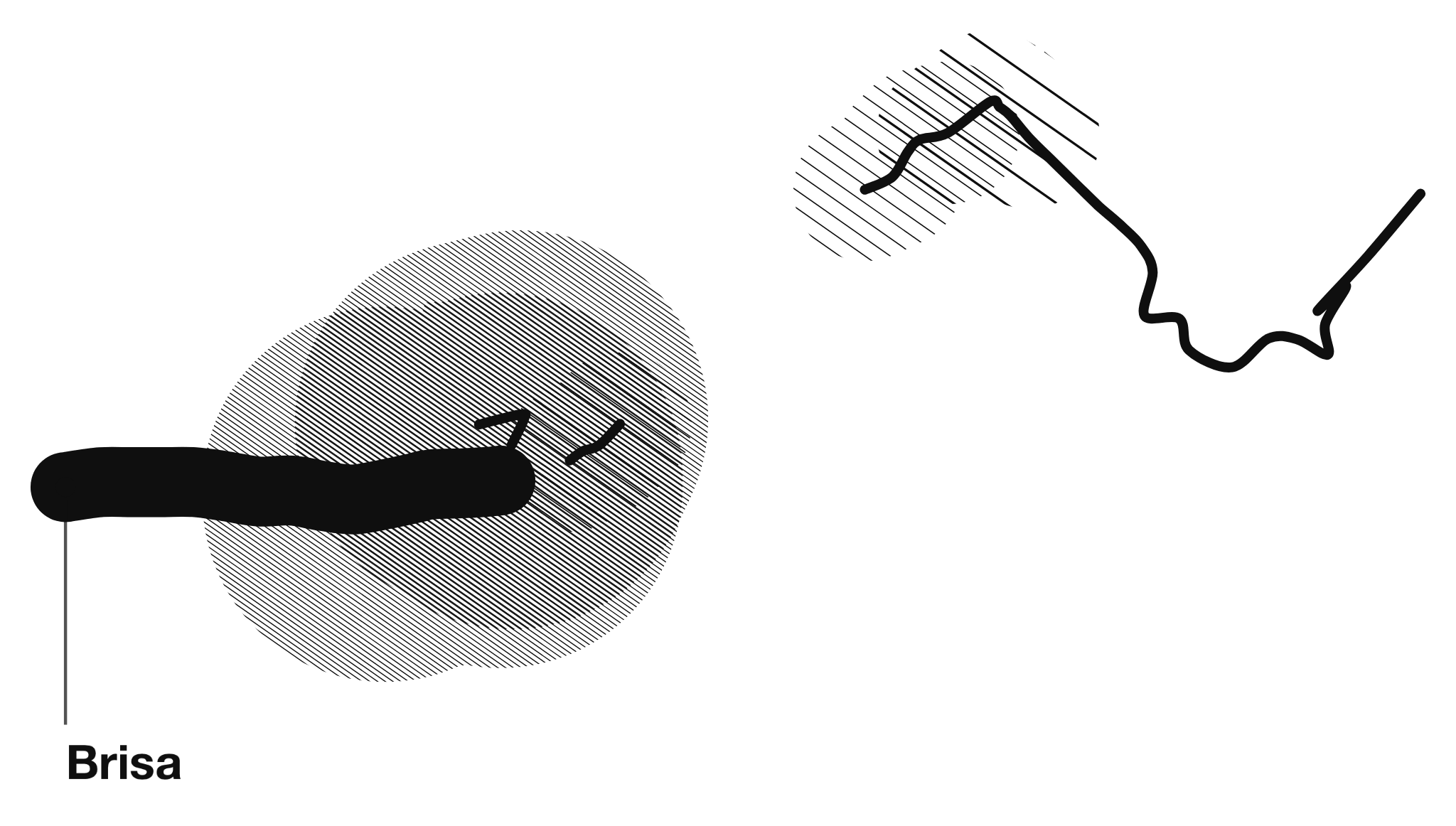
Brisa, 30.08.2026. Vector drawing generated from GPS data, mixed mode with an anchored word (“Brisa”). Ciutat Vella, Barcelona; 302 m, 3 min 22 s. More on Walking Lines.
The project belongs to the tradition of walking as an aesthetic practice and a mode of knowing territory, but relocates that experience to the mobile device. Here GPS operates not as an orientation technology but as an imperfect sensor. Between the position and the paper stands an algorithm that decides weight, stain, hatching and void. The instrument is set up before walking and goes on being handled in real time while walking: thickness, opacity and disorder of the line; width, hatching and outline of the stain; sensitivity and matter of the sound. The behaviour of the mark is decided without yet knowing what the next step will bring.
Pausing the recording can open voids and areas of white, deliberately or at random. Ground covered during a pause is neither drawn nor counted as distance or time, yet its actual direction and length remain on the paper to scale: white becomes material rather than interruption. With the microphone active, ambient sound is analysed on the phone itself—volume, continuity, spectral texture and impulsiveness—and translated into bodies of varying roundness, angularity or elongation. Written words can also be anchored to a point on the route, as textual waypoints that accompany the form.
The project extends the artist’s ongoing research into walking, in which the body crossing a territory is the instrument of reading. What changes is not the subject but the procedure: territory is no longer read, it is turned into a mark.
Walking Lines is an ongoing project. The instrument remains in development and group activations are planned. The project originated in Walking Score, the participatory proposal for the Are.na Annual in which each route becomes a score.
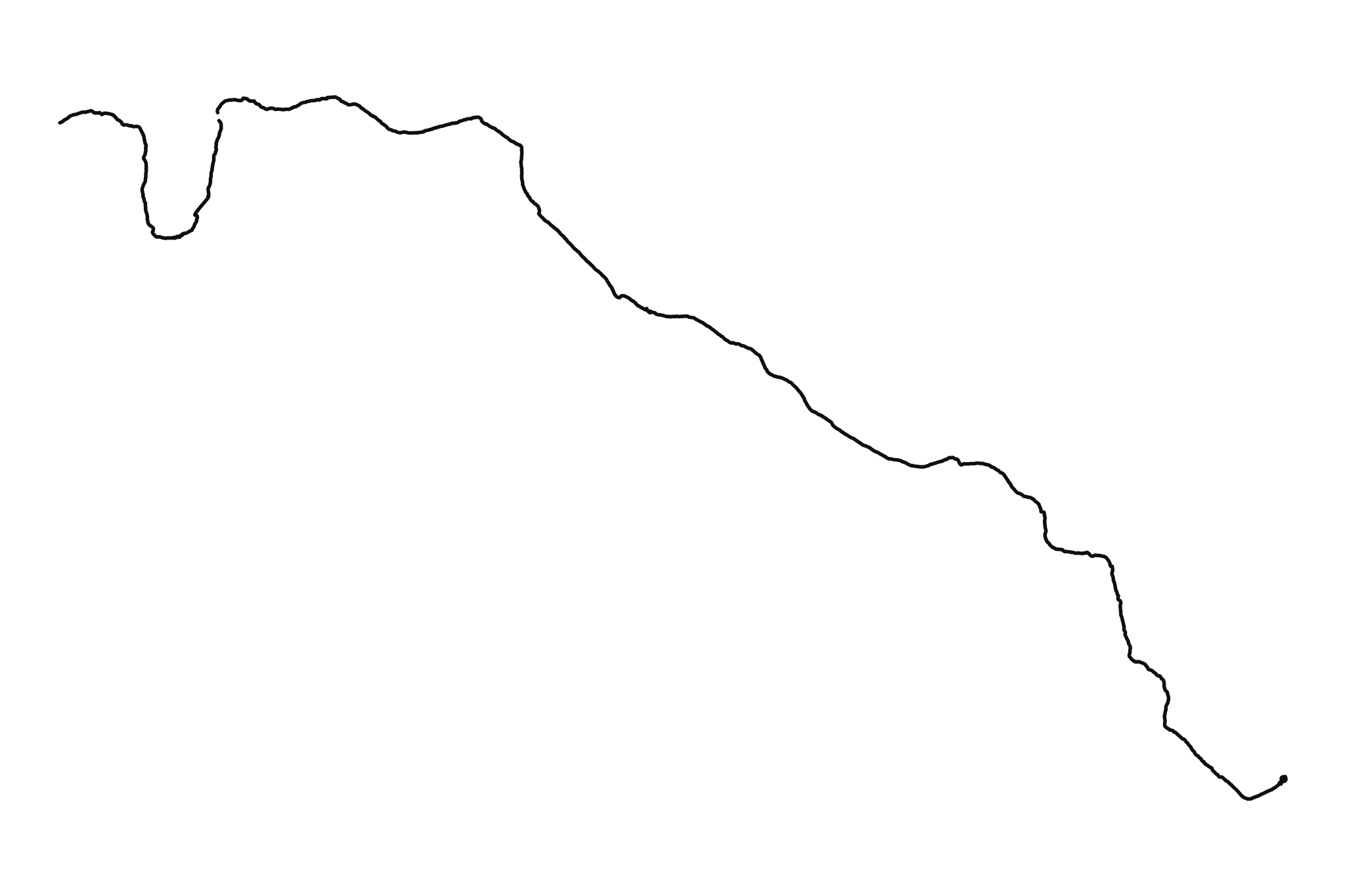
Río Alcalá con suspiro, 11.08.2026. Vector drawing generated from GPS data, mixed mode. Alcalá de la Selva; 3.24 km, 51 min 13 s. More on Walking Lines.
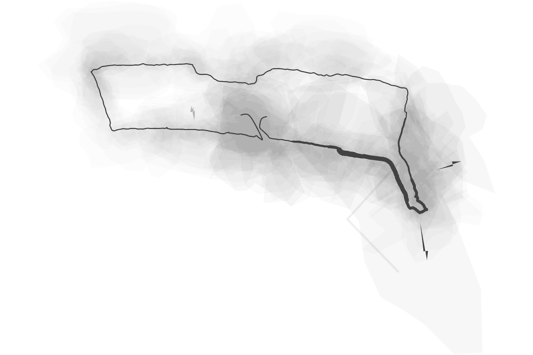
Apertura, 05.08.2026. Vector drawing generated from GPS data, mixed mode with a sound layer; 1.01 km, 17 min 30 s.
Playa, 05.08.2026. Vector drawing generated from GPS data, line with a sound layer. La Geltrú (Vilanova i la Geltrú); 1.4 km, 22 min 24 s. More on Walking Lines.
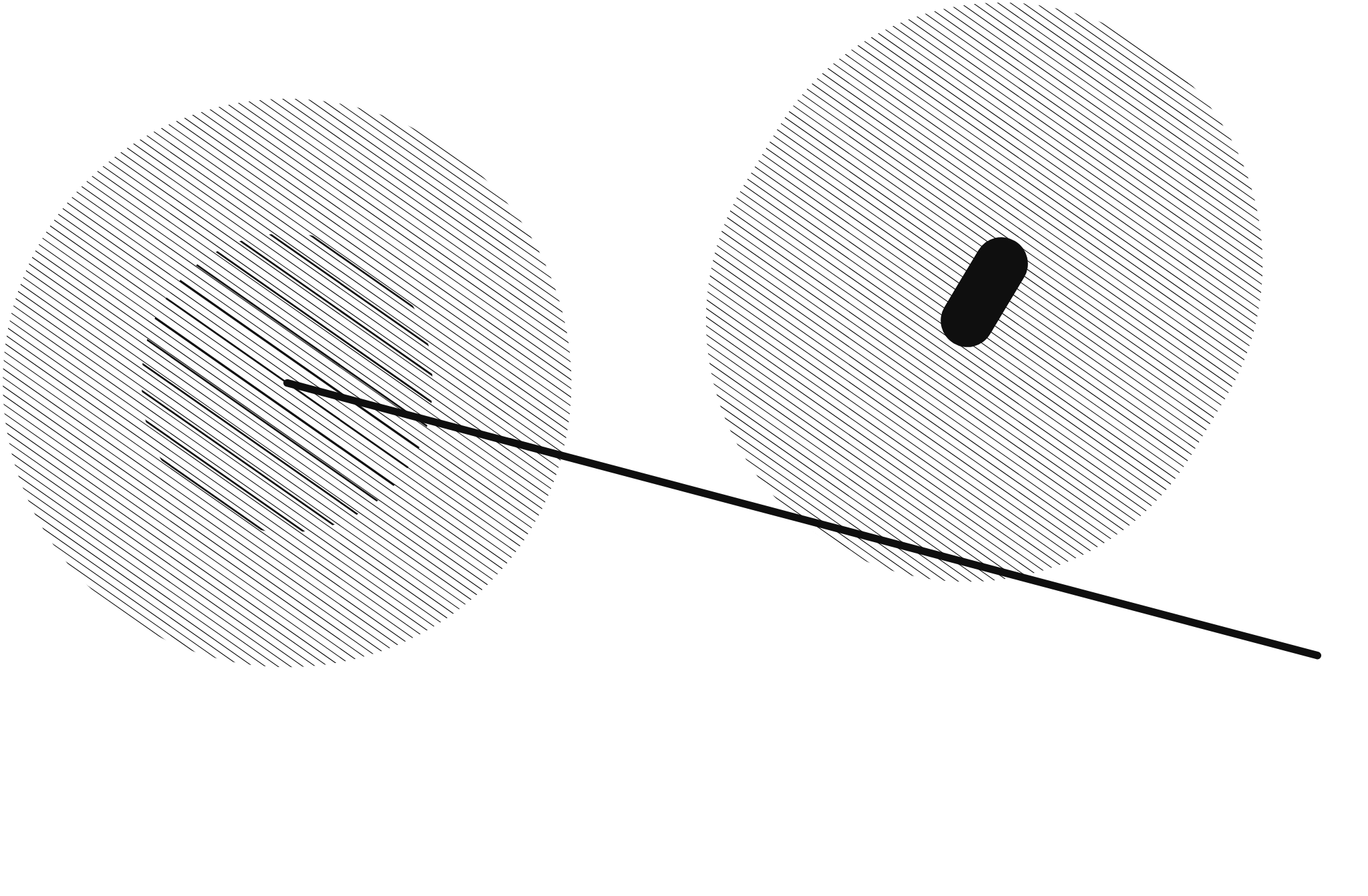
Micro caminata de estudio, 31.08.2026. Vector drawing generated from GPS data, mixed mode. Sant Martí, Barcelona; 11 m, 43 s. More on Walking Lines.
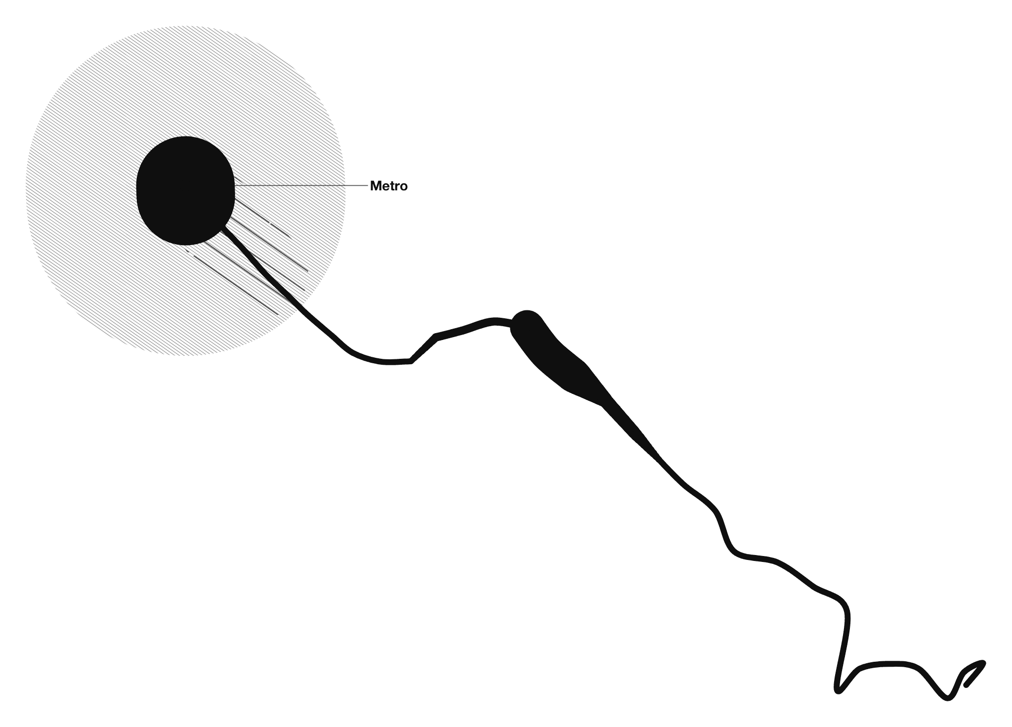
Rutina deconstruida, 31.08.2026. Vector drawing generated from GPS data, mixed mode with an anchored word (“Metro”). Ciutat Vella, Barcelona; 243 m, 3 min 22 s. More on Walking Lines.
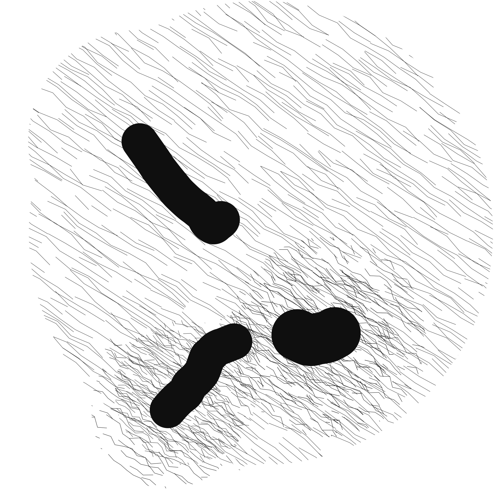
Tres cuerpos, 02.09.2026. Vector drawing generated from GPS data, mixed mode. Sant Martí, Barcelona; 272 m, 4 min 55 s. More on Walking Lines.
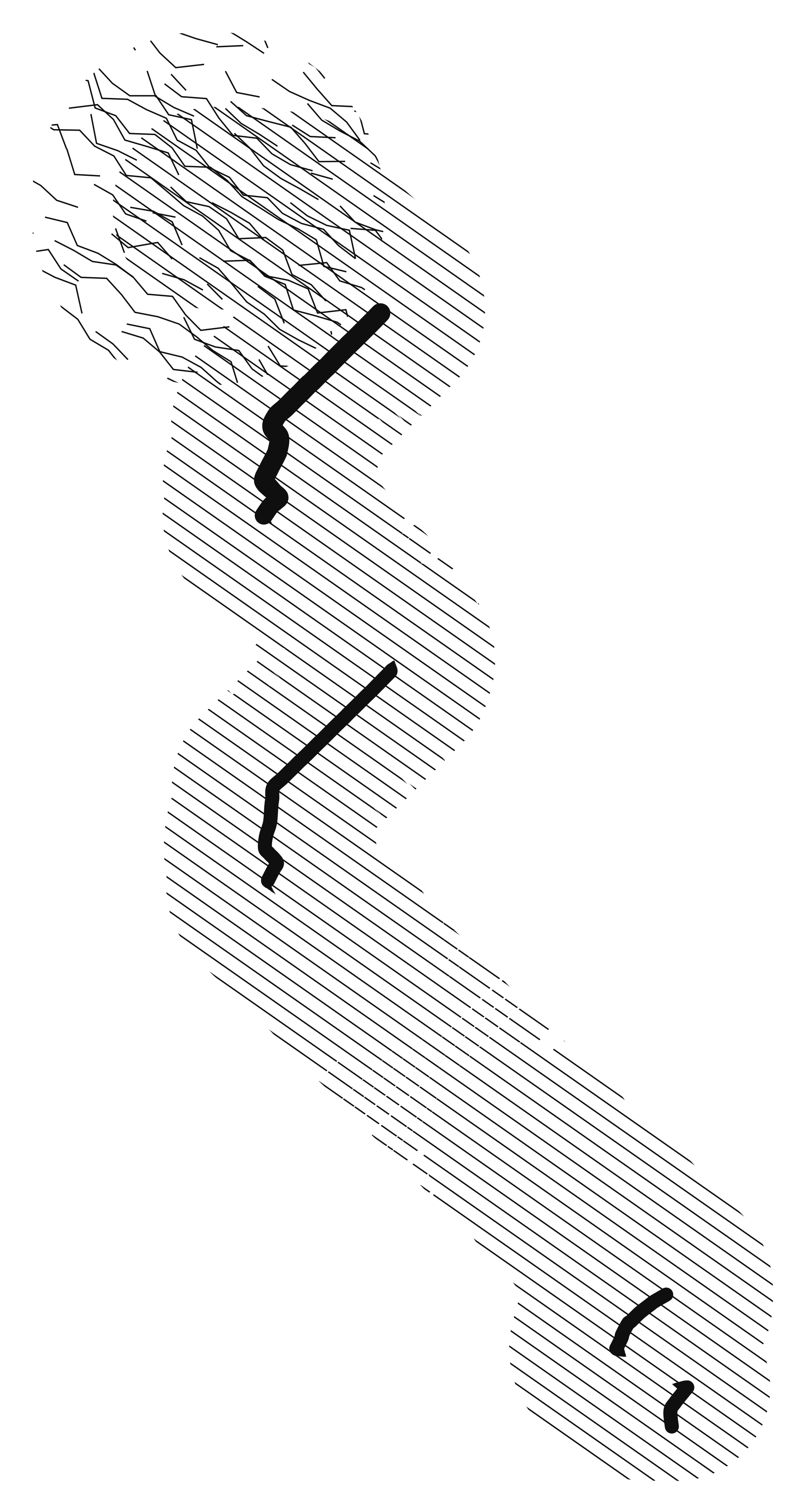
Fragmentos de un jueves por la mañana, 03.09.2026. Vector drawing generated from GPS data, mixed mode. L’Eixample, Barcelona; 920 m, 10 min 49 s. More on Walking Lines.